MOUNT APO
|
Mount Apo is a large solfataric, potentially activestratovolcano in the island of Mindanao, Philippines. With an elevation of 2,954 metres (9,692 ft) above sea level, it is the highest mountain in the Philippine Archipelago and is located between Davao City and Davao del Sur province inRegion XI and Cotabato province in Region XII. The peak overlooks Davao City 45 kilometres (28 mi) to the northeast, Digos City 25 kilometres (16 mi) to the southeast, and Kidapawan City 20 kilometres (12 mi) to the west.
|
BELOW MOUNT APOThe Department of Environment and Natural Resources (DENR) submitted Mount Apo on December 12, 2009 for inclusion in the UNESCO world heritage list. The mountain is considered by DENR as the center of endemism in Mindanao. It has one of the highest land-based biological diversity in terms of flora and fauna per unit area. It has three distinct forest formations, from lowland tropical rainforest, to mid-mountain forests, and finally to high mountain forests.[3]
A portion of the eastern slopes are also within the scope of the UNESCO Hydrology Environment Life and Policy (HELP) Network. The Davao HELP Network is focused on building collaboration among watershed stakeholders. |
MOUNT APO NATURAL PARK.On May 9, 1936, Mount Apo was declared a national park with Proclamation no. 59 by President Manuel L. Quezon, followed by Proclamation no. 35 of May 8, 1966 then Proclamation no. 882 of September 24, 1996. On February 3, 2004, the approval of Republic Act no. 9237 established Mount Apo as a protected area under the category of natural park with an area of 54,974.87 hectares (135,845.9 acres); with two peripheral areas of 2,571.73 hectares (6,354.9 acres) and 6,506.40 hectares (16,077.7 acres) as buffer zones, provided for its management and for other purposes.
|
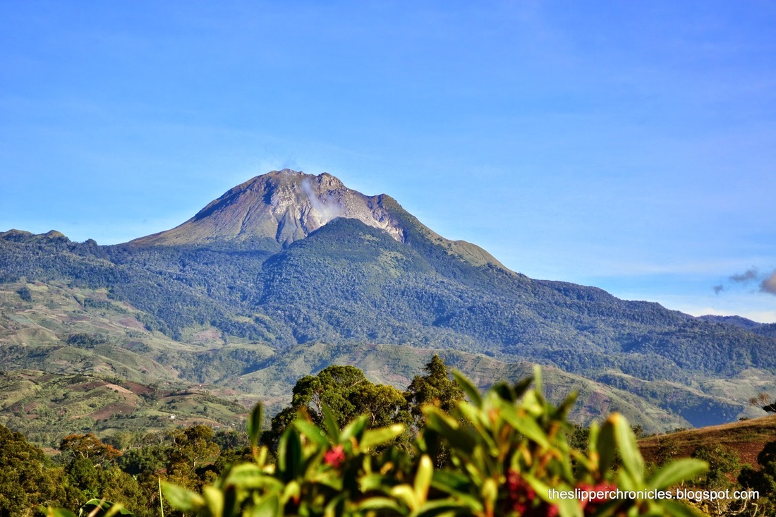
MOUNT APO TERRAINSAt 2,954 meters (9,692 ft), Mount Apo is the highest Mountain & volcano in the Philippines. This majestic peak is one of the country's most popular climbing destinations.
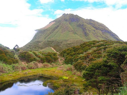
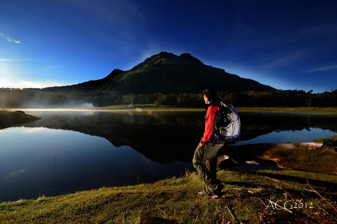
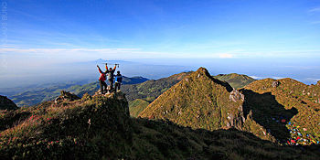
Several trails lead to the summit, coming from North Cotabatoand Davao provinces. Arguably the easiest route to the National Park is through Kidapawan City with an average hike taking 3–4 days roundtrip. In the classification system used by local popular mountaineering website PinoyMountaineer.com, the difficulty of the hike is 7 out of 9. Various sights along the trail include Lake Venado, the highest lake in the Philippines, the solfataras and the old crater near its summit. The mountain may be climbed year-round or one can register and join the city's Summer Climb or the Annual October Trek / Climb. |
